Arlington - Brighton Heights - Castleton Corners - Elm Park -
Graniteville - Grymes Hill - Livingston - Mariners Harbor - Meiers Corners - New Brighton - Port Richmond - Randall
Manor - Silver Lake - Stapleton - Sunnyside - St. George - Tompkinsville - Ward Hill - West Brighton - Westerleigh -
Willowbrook
Boundaries
East-Upper New York Bay, from the S.I.Ferry Terminal to Verazzano Narrows Bridge.
North-Kill Van Kull, from the S.I.Ferry Terminal to South Avenue.
South-Staten Island Expressway, from the Verazzano Bridge to South Avenue.
West-South Avenue, from Richmond Terrace to the Staten Island Expressway.
Important Places
Alice Austin House
Bayley Seton Hospital
Borough Hall
Clove Lakes Park
Coast Guard Site
Court Buildings
Snug Harbor Cultural Center
Staten Island Ferry
Staten Island Institute of Arts & Sciences
Staten Island Zoo
St.John's University
Wagner College
Generally, the North Shore is deemed to
consist of the communities located within
ZIP Codes
10303, 10302 and 10310 in their entirety, along with all of the area covered by 10301 except
Sunnyside, and those
parts of 10304 and 10305 that lie north of the
Staten Island Expressway.
Under this definition,
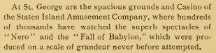
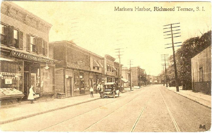
Mariners Harbor,
Port Richmond,
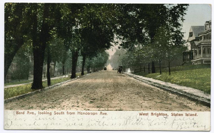
West Brighton,
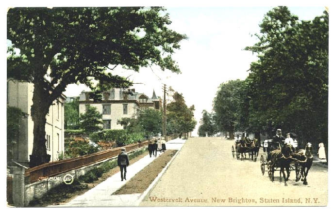
New Brighton,
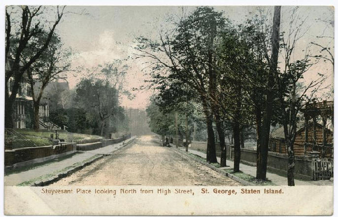
St. George,
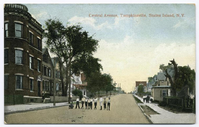
Tompkinsville,
Stapleton,
Clifton, and
Rosebank, are included among
the North Shore's
neighborhoods.
The North Shore was the first section of Staten Island to
become more or less densely populated,
a condition that had been achieved by the beginning of the 20th Century.
The
Kill Van Kull shoreline —
stretching from St. George to Mariners Harbor — was once a major manufacturing
hub, but today most of its factories are closed. The North Shore also suffered
economic blows when the branch of the
Staten Island Railway serving
it ceased passenger service
in
1953, and when the
Staten Island Mall opened in
1973, attracting many
businesses from
Port Richmond, which heretofore had been a prominent commercial district.
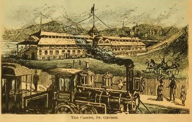
St. George is the county seat of
Richmond County, as
Staten Island is alternately known, and is
the site of the passenger
ferry connecting the
Island with downtown
Manhattan.
Important landmarks and points of interest located on the
North Shore include
Wagner College,
Sailors Snug Harbor,
the
Bayonne Bridge, and
Silver Lake Park and its
public
golf course.
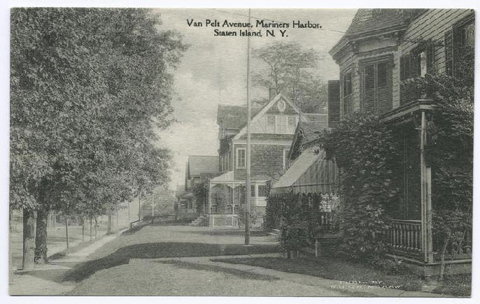
Port Richmond Avenue & Richmond Terrace