| South Shore | ||
|
|
Annadale - Arden Heights - Bay Terrace - Charleston - Eltingville - Great Kills - Greenridge - Huguenot - Pleasant Plains - Princes Bay - Richmond - Richmond Valley - Rossville - Tottenville - Woodrow Boundaries Important Places
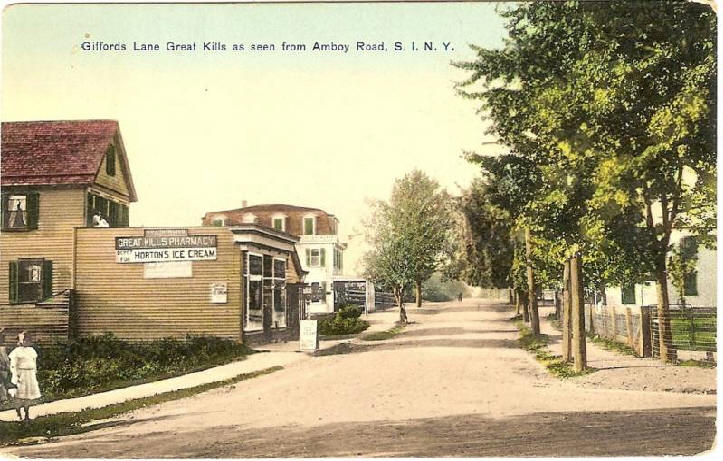
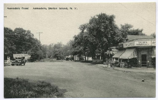
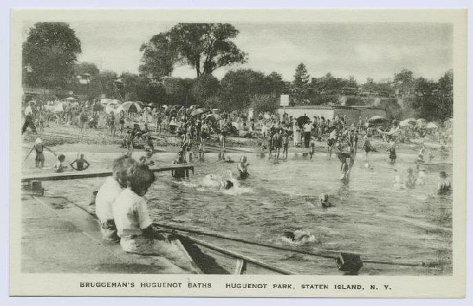
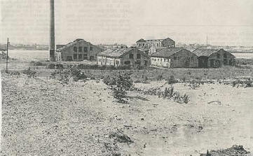
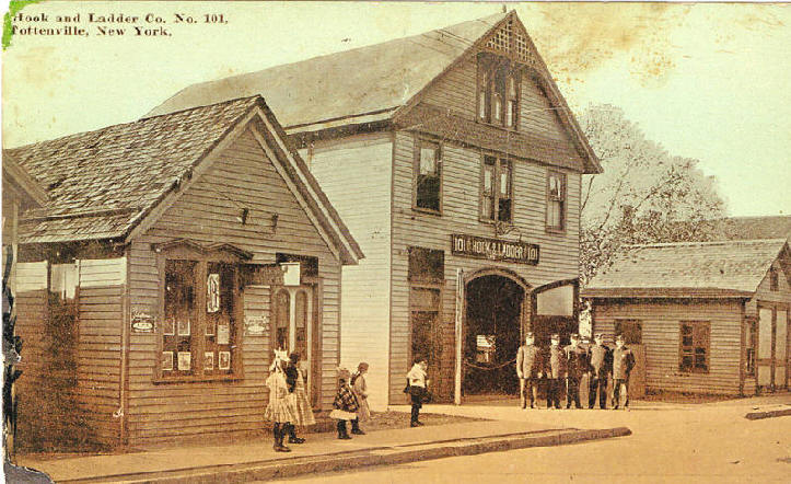
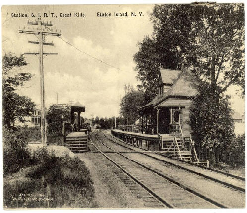
The South Shore is a geographical term applied to the area of Staten Island, New York, south and east of the island's ridge of hills (and Richmond Creek and Fresh Kills south of Historic Richmond Town) along the waterfront and adjacent areas from the Narrows to the mouth of the Arthur Kill, although many observers prefer to restrict its scope to the neighborhoods located between the shoreline of Raritan Bay on one side and Richmond Creek and Fresh Kills on the other, thus encompassing the neighborhoods of Great Kills to Tottenville only. Those who choose to recognize this more narrow definition of the "South Shore" reckon the communities that lie along the Lower New York Bay, and inland for approximately 2 to 2½ miles, from Bay Terrace and Richmondtown to as far north as Grasmere and Concord, as the East Shore. Prior to the 1960's, the South Shore was widely undeveloped, however after the building of the Verrazano Narrows Bridge, its population rose sharply.
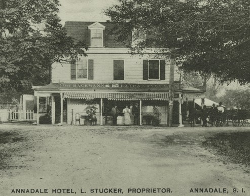
As you can see the two photos below are the same place,
one was called the Annadale Hotel, The dates of both photos are unknown
|
This site was last updated 09/05/10
